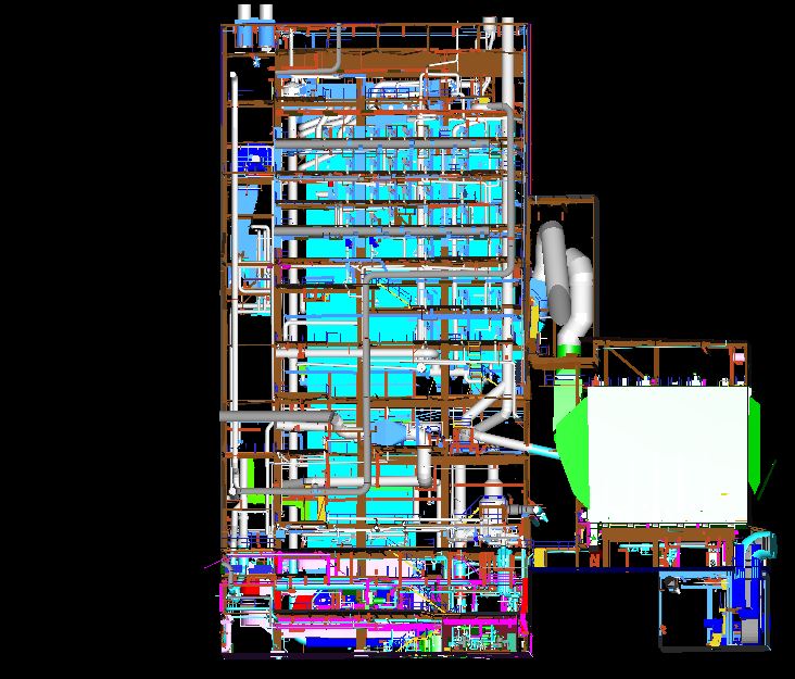
Cyclone
Feel Free To Call Us
+91 767 595 6215
Geosis has the capability to create high-resolution imagery from a small, Unmanned Aerial Vehicle (UAV) data. The system is safe, ecient and costcompetitive in comparison to traditional Fixed- wing / helicopter-based data collection platforms and terrestrial survey operations. The collected imagery can be eciently processed to generate digital surface models, digital terrain model, and topography and imagery data products to integrate into both CAD and GIS systems. Professional commercial UAS / UAV / Drones are today performing missions of surveying, mapping, city-planning, mining, forestry, agriculture, volume calculations, science, wildlife protection and much more.
A complete aerial geomatics, geospatial technology, equipment platform for georeferenced orthophotography and 3D modelling. Prepared for use with multiple sensors, ranging from e.g. cameras to thermal imaging, multi and hyper spectral, lidar and magnetometer. The production of Digital Terrain Models, DTM and Digital Surface Models, DSM.

geosis technologies
Cyclone Services
• Planimetric Mapping
• Stereo Compilation
• DTM Generation
• Change Detection
• Creation of Digital Elevation Models
• Editing of Ground Features & Elevation Data
• Orthorectification processes
• Creating, Balancing & Mosaicing of Ortho photos
Contact Us
Address
Door no 37-6-56,
MANCHUKONDA GARDENS,
MRF Tyres Road,
Satya Nagar,
MURALINAGAR,
VISAKHAPATNAM Pin: 530007
ANDHRA PRADESH
dharma.dusi@geosistechnologies.com
Phone
+91 767 595 6215
+91 950 290 1078
